Taking it international!
2026-07-26
New Brunswick, Canada
Today we crossed the line. Specifically, the Canadian border. We got to Calais (I'm told it's pronounced "Cal-as") around 1:00 and waited our turn at the single border agent booth. There were only two cars in front of us so it was not long. The checks were cursory, and after scolding me for not signing my passport and eliciting a very Canadian "sorry", the border agent sent us on our way.
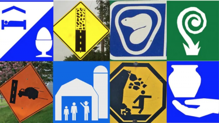
We took route 1 north through St. John (not to be confused with St. Johns!) to the Funday National Park. The drive was very easy, with two lanes each direction and almost no one else on the road. We spent the time reading exit signs and trying to guess what the pictures meant. Gas and food were easy, but the hand holding a vase or the spiral lollipop stumped us. Now I can tell you the former is "local artisans" and the latter is the River Valley Scenic Drive. There is also one for Agri-tourism site that looks like a family living in a barn.
We arrived at the park and were told that all Canadian National Parks are free until September. I don't mind supporting the parks, but I think this will encourage more locals to visit which should be good for the parks long term. Thank you Canada for the gift. We also stopped at the Visitor Center to get a map and some helpful hike suggestions.
We continued through the park to the small town of Alma, which is not a beach town. Yet. Main street is sort of walkable, and there is really only one t-shirt and candy store (and both were the same emporium). A couple stores seemed to sell souvenirs, and the rest were mostly restaurants and inns. Granted, for today's purposes, that's what we needed.
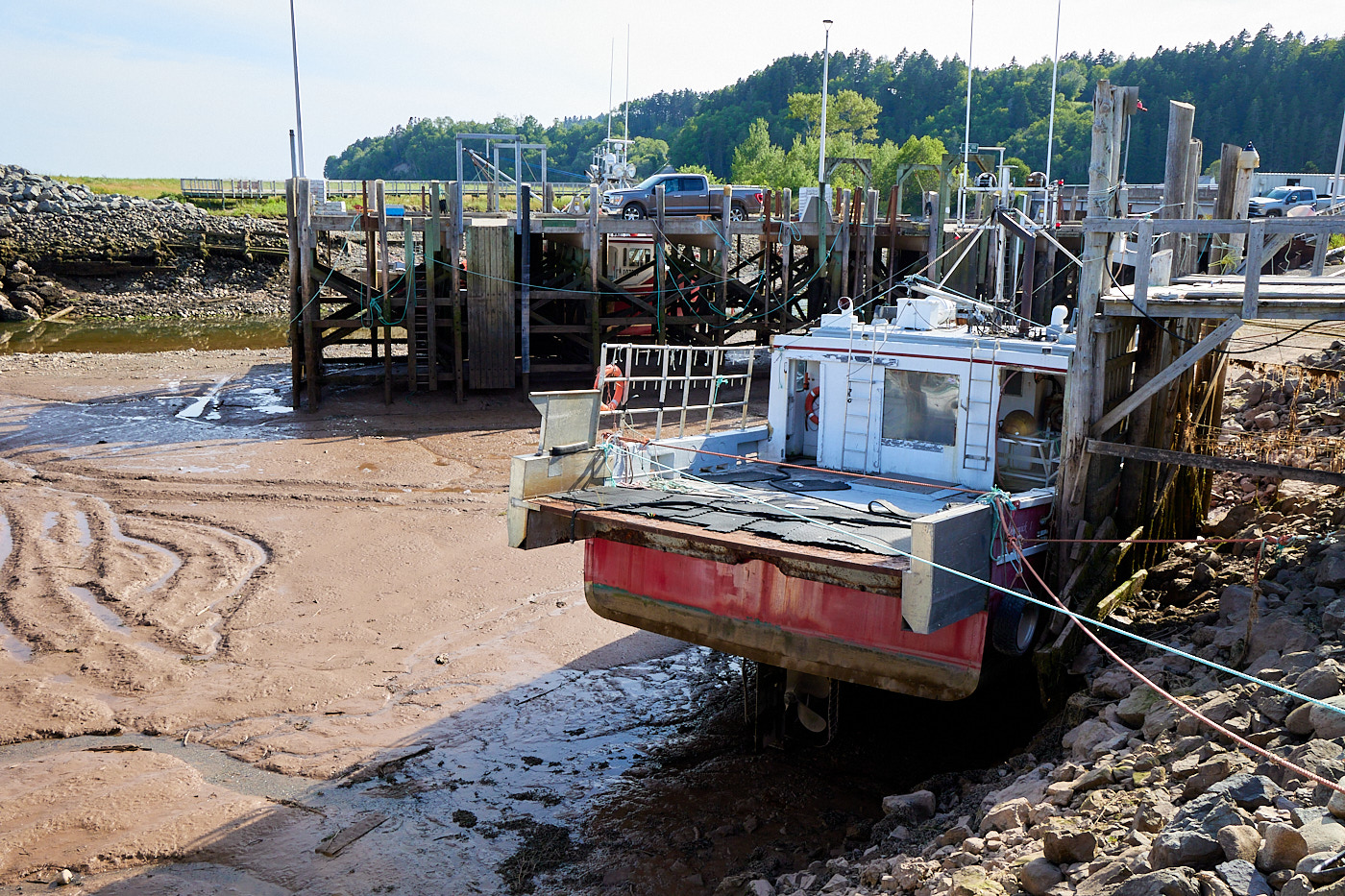
We had some time, so we immediately went to the pier next to the hotel to see the boats at low tide. Those dudes have to do extra work on their way in to port.
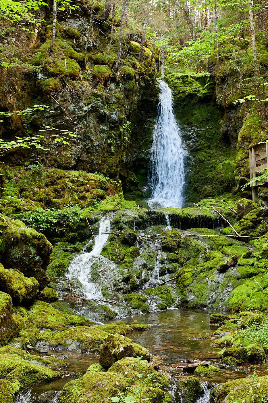
With the time change, we are at the western edge of the time zone so we figured we would have time for some hiking. First we headed to Dickson Falls, a short 2 km loop.
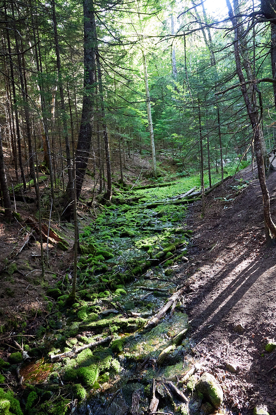
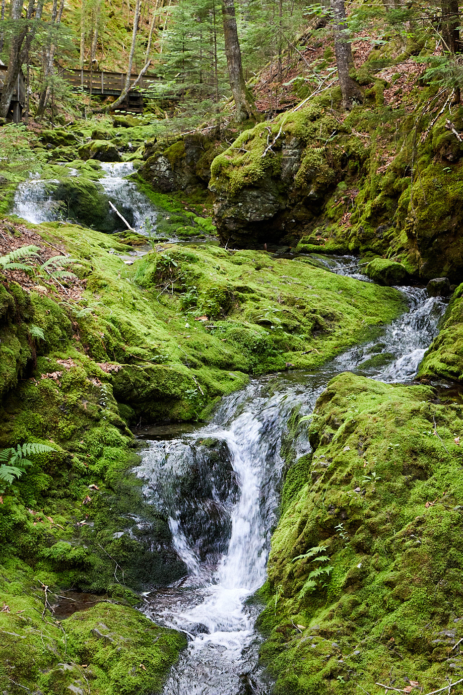
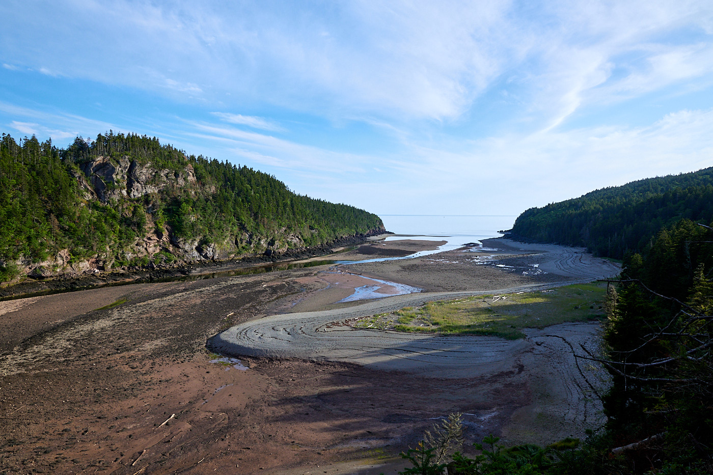
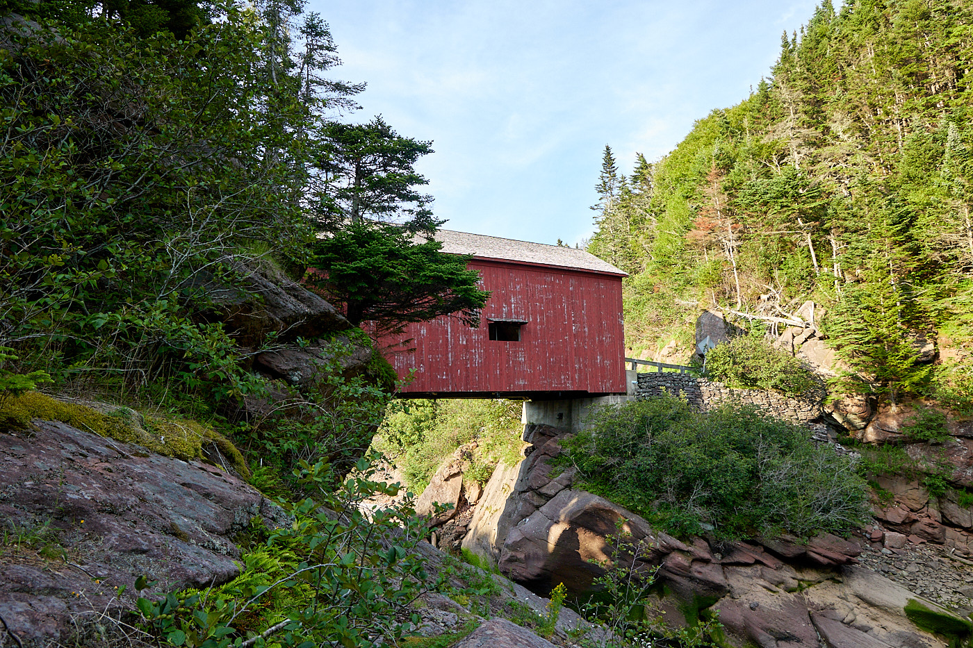
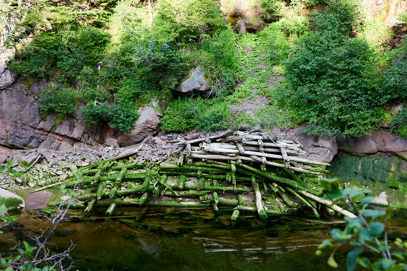
We decided to continue down the road and take the Shiphaven trail, which is about 1.5 kilometers. Without the ranger recommendation, we would have totally missed this one. The trail goes along a tributary of the bay, and has interesting stops at the old wood mill (just part of the dam remains) and the covered bridge. The area used to be heavily timbered, but it has been a park for 70 years so there are now some older trees.
This is actually a section of the Trans-Canada trail, so we are section hikers!
Driving distance: 645 km (401 miles)
Hiking distance: 3.5 km (2.3 miles)