Funday National Park
2026-07-27
Funday National Park, New Brunswick, Canada
We took today to explore Funday National Park. The ranger (or whatever they are called in the Great White North) suggested some hikes, and in the morning we headed off to do the longest of them at 7 km. The hike was Moosehorn Trail to Laverty Falls Trail. (Interesting aside: Moose have antlers, not horns. Antlers are shed every year, while horns remain. The exception is Pronghorn Antelope, which shed their horns every year. Something in nature caused them to determine that it required less energy to regrow them.)
The hike ended up being four very different sections. The first section was roots and rocks and some steep downhills until we reached the river. It was very technical, but not strenuous.
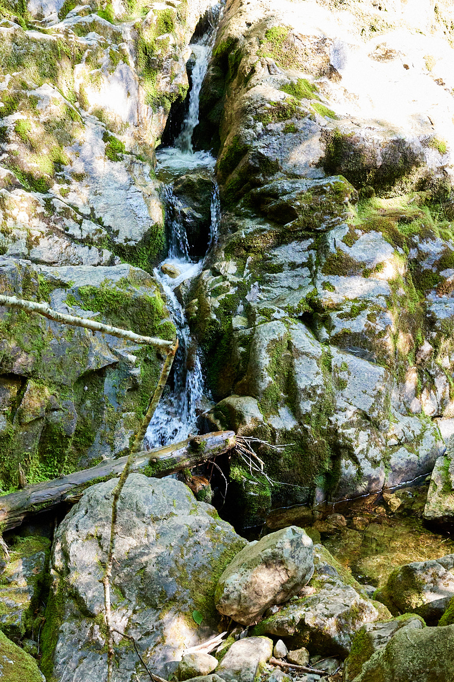
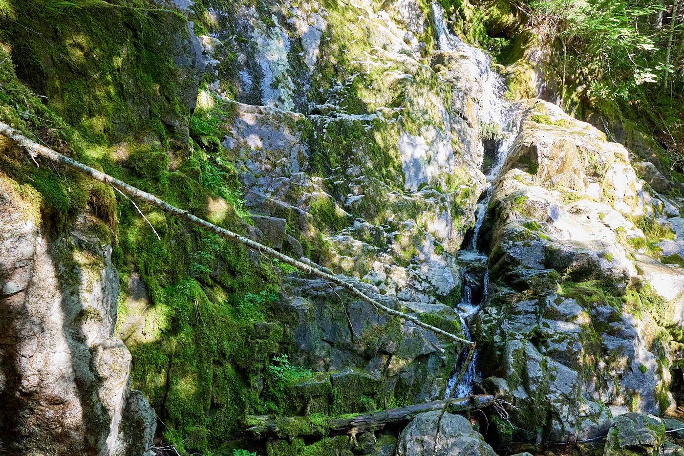
When we hit the river, there were some small waterfalls, and the path followed the river for quite a while. This section was more about rock scrambles and hunting for trail markers. We didn't go far astray, but we did it fairly often.
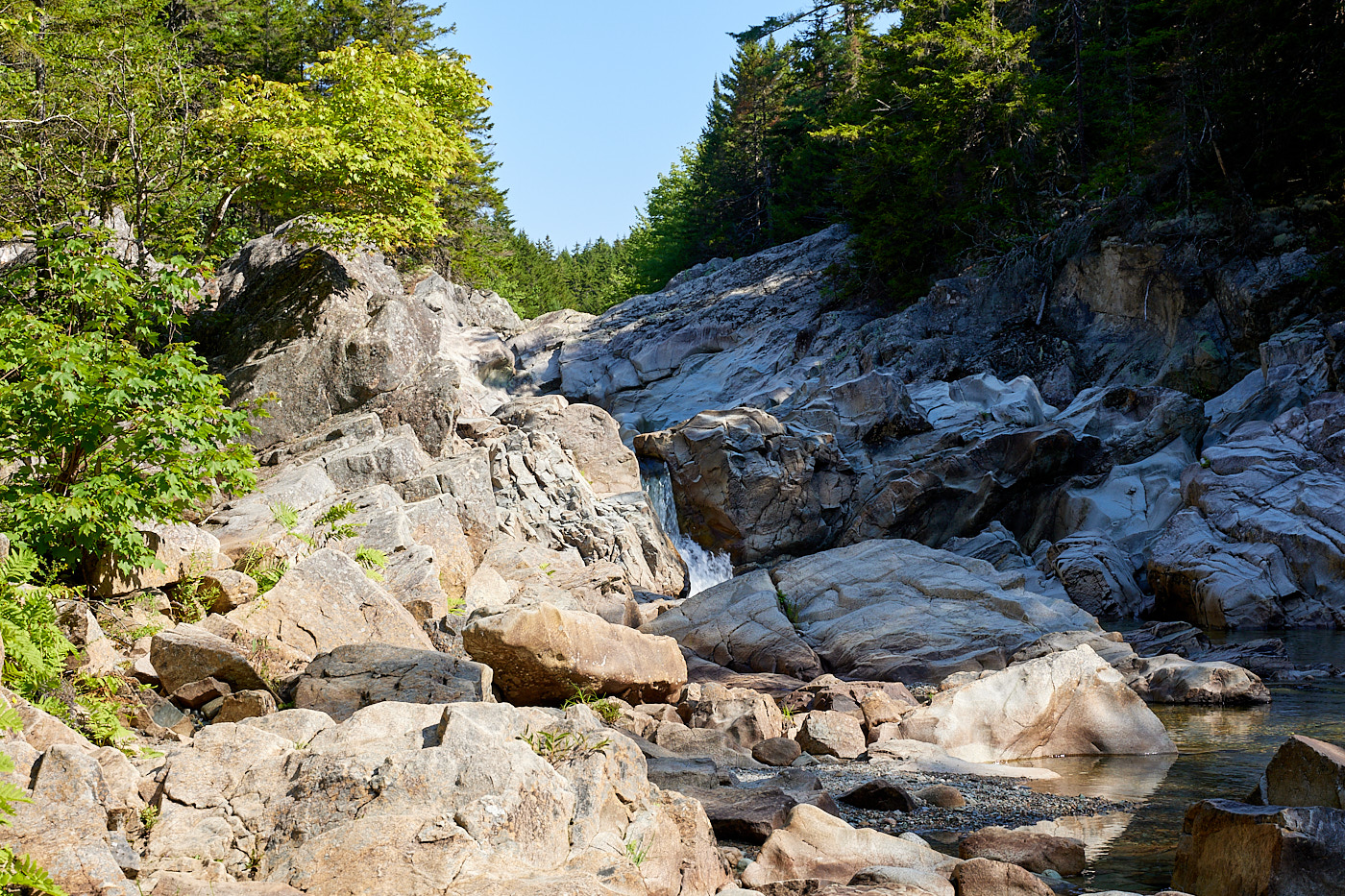
The third section continued to follow the river, but was grassier areas and a smoother trail with several mud bogs that needed to be navigated. So easier in some ways, harder in others.
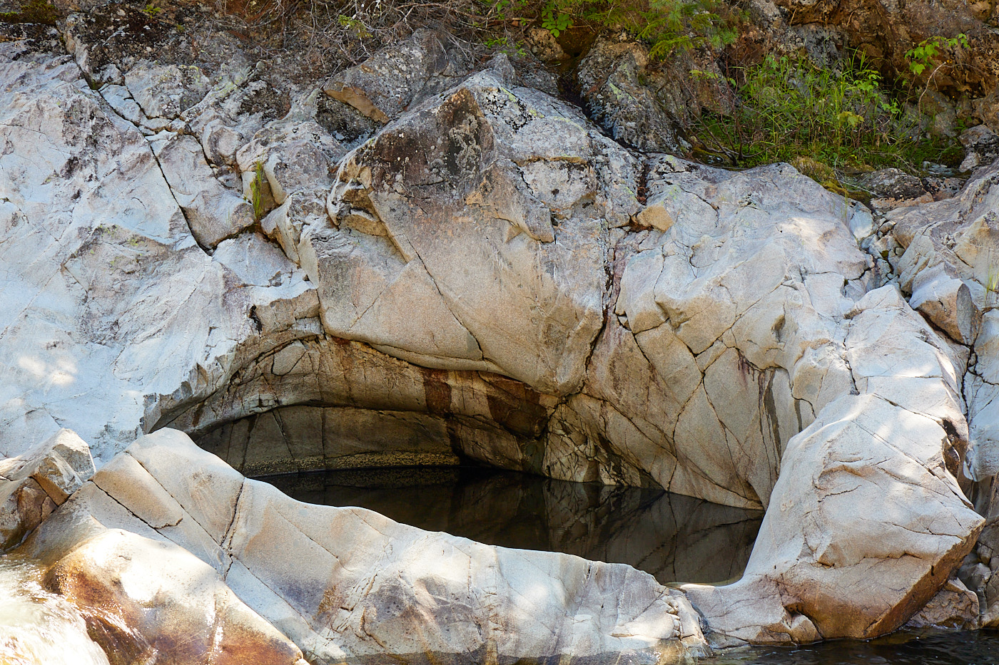
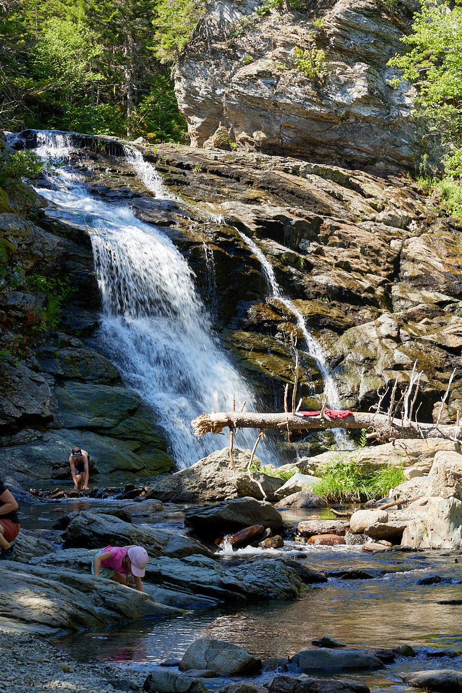
Then we reached Laverty Falls, which was a popular swimming destination as well as a sight. We got there around noon, and it was crowded. After the falls was the fourth section of the trail; relatively smooth but uphill for the last two kilometers. Pretty much the entire 225 meters of climb came in that section. It was a slog, but we made it back to the lot. We were the second car in the lot that morning, and there were probably 100 cars there when we returned. But our shady spot was still the envy of the late risers.
I took the afternoon off to nap and blog while Val explored the town. She actually went into those shops we saw last night and wondered what they might actually be. Perhaps a marketing failure that we didn't know their wares, or a success that she was curious enough to visit.
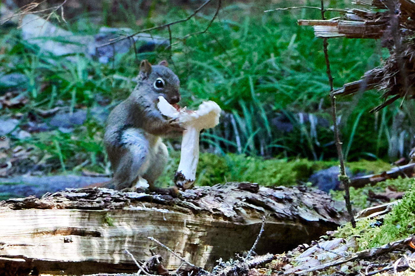
We then did the Coppermine hike. This is one of the cliff hikes that lets you see out into the bay. However, at no point does this trail offer an unobstructed view of the bay. And with a fair number of evergreens, I don't know that it will be better in the winter. For us, it was carrying heavy camera gear for a long time without a chance to use it. Well, almost no chance.
I switched my car to display in km's now. I needed that to know my speed, but it also changed the odometer so we record our distances in kilometers. Unfortunately I only know that I can get ~500 miles to a tank and so forth. But we'll get used to it.
Driving distance: Park driving
Hiking distance: 14 km (8.5 miles)