Cape Breton
2026-07-29
Cape Breton, Nova Scotia
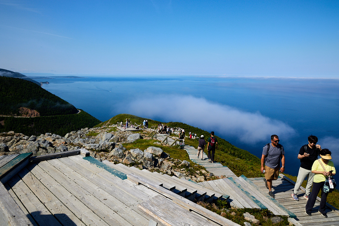
This was our first chance to really explore Cape Breton National Park. The Skyline Trail is the most popular trail in the park, and it requires reservations to park (basically fill the lot twice a day). Ours were for the morning, so we arrived before the 9:00 AM reservation time, but only just due to construction on the park road. They have a pilot car for about 5 km (3 mi) so it can go a bit slowly.
There are two ways to do this trail: an out and back that makes a beeline for the viewpoint, and a longer loop that returns on the same trail as the straight run. We, of course, took the longer route which clocked in at 8.6 km (5.4 mi).
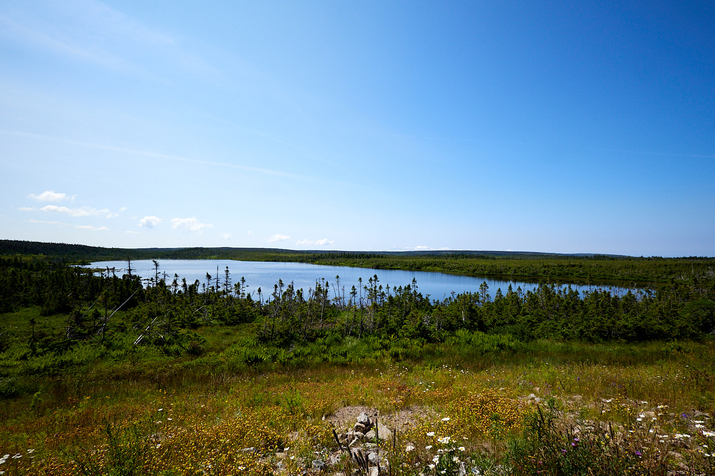
The meadow we walked through had plenty of wildflowers and small trees and was lovely. We found out later that this used to be an arboreal forest, but there was an insect infestation that killed the trees many years ago. After that, every time young trees try to establish themselves, the moose come by and eat them down leaving just a meadow. Since the forest was decimated, the moose population has quadrupled. They are taking active measures such as fencing areas to get the forest to grow again.
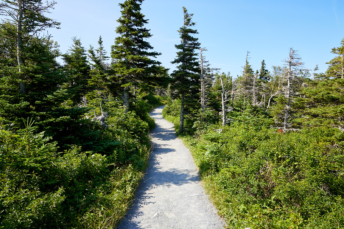
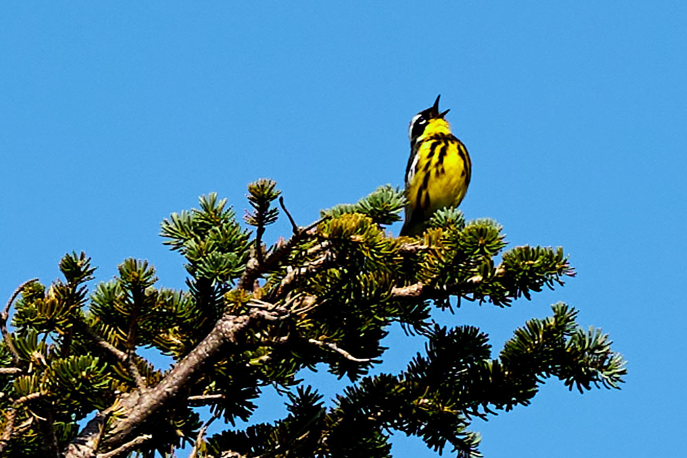
The path went along the cliffs, but unlike the previous hike it did offer some unobstructed views of the Gulf of St. Lawrence.
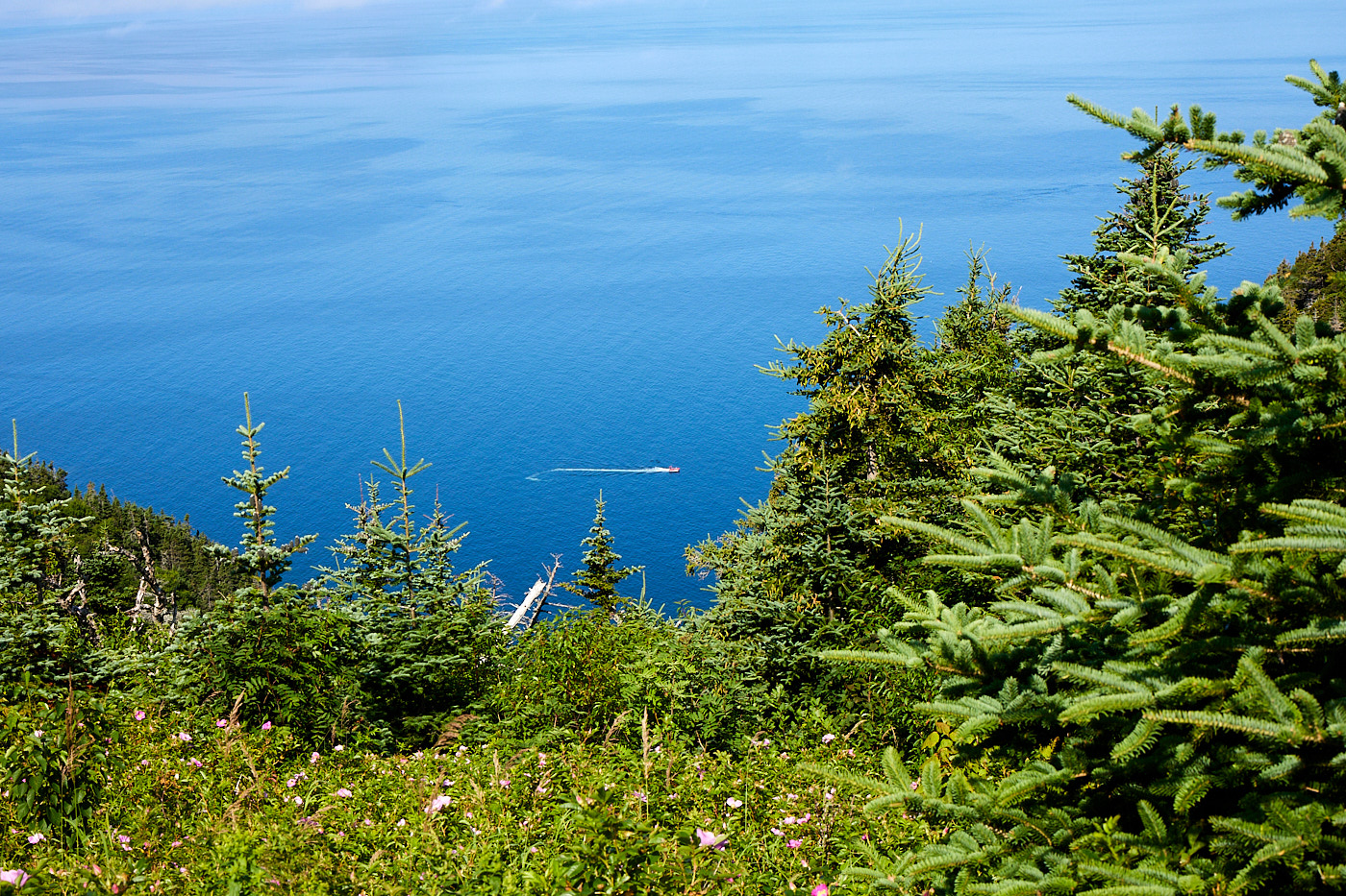
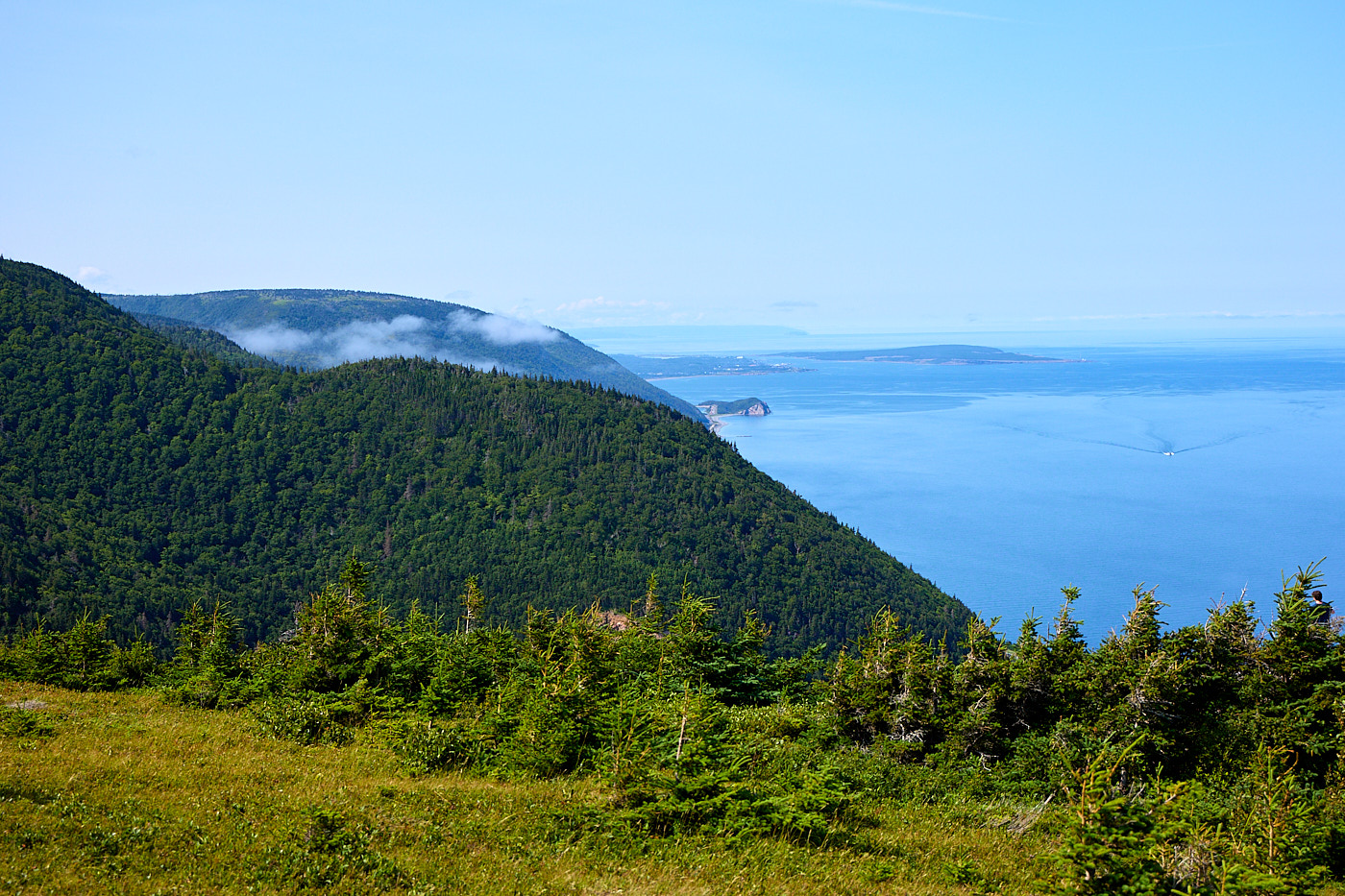
We got to the point and hiked down the stairs to the lowest viewpoint. While it was pretty to have the low clouds in the pictures, they could also work against us. They say you can sometimes see whales and porpoises from that point, but during our time at the bottom the cloud was so thick we couldn't even see the water. It was laughable. I also didn't know about the whales beforehand so we didn't bring binoculars or even a long lens. Turns out that with our luck it was just as well.
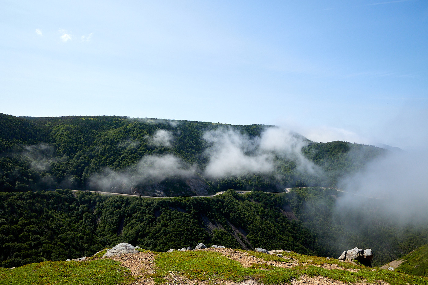
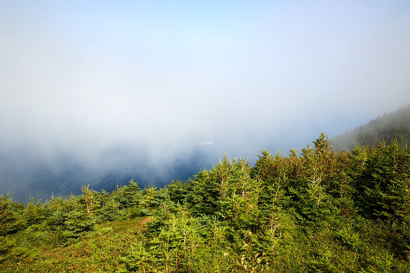
This hike was a well-groomed trail, and it was relatively easy because of that. There was 195 meters (640 feet) of climb but with the smooth trail we came out of it much less tired that roughly the same distance two days back. So we used our time (and leftover energy) to visit some of the view points on the main road and take pictures. The stops were great and all very different.
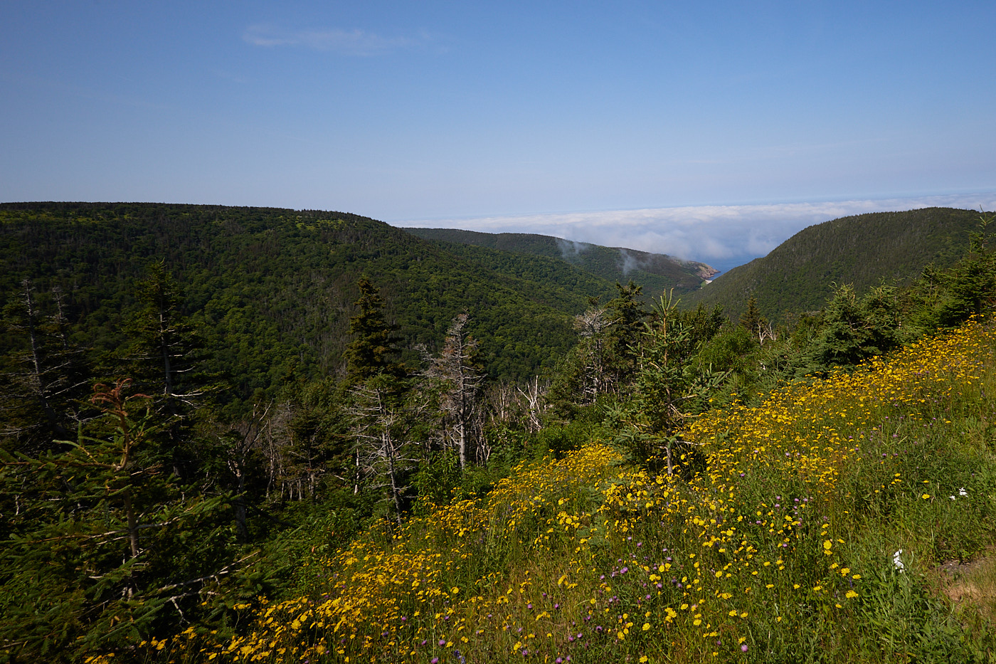
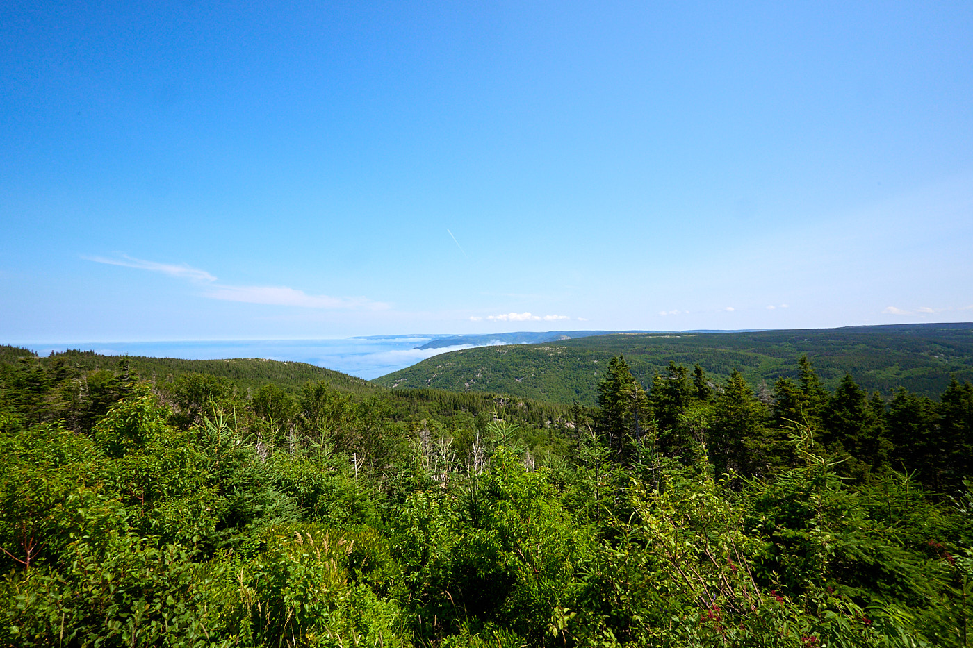
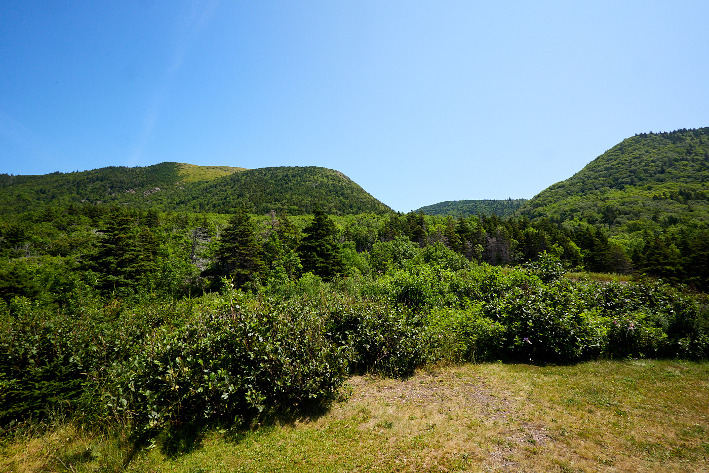
We headed towards home, and stopped at the visitor center for some advice on trails, especially shorter trails that we can do in the afternoons. We also got my sign pictures. There are 48 (some are pending) Canadian National Parks but I am not trying to see them all. But if that ever changes, I will have my sign picture.
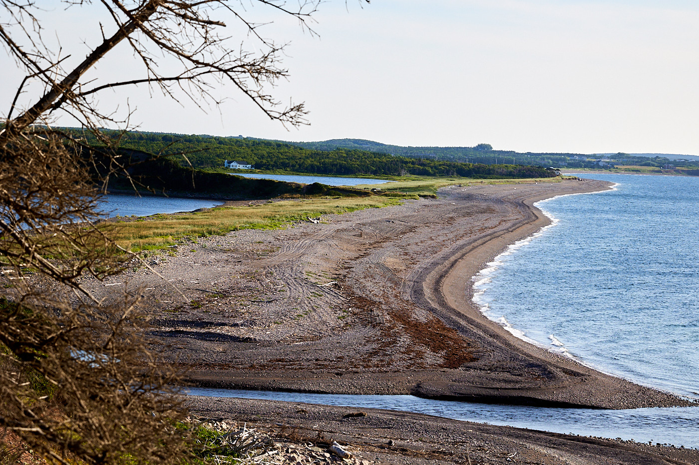
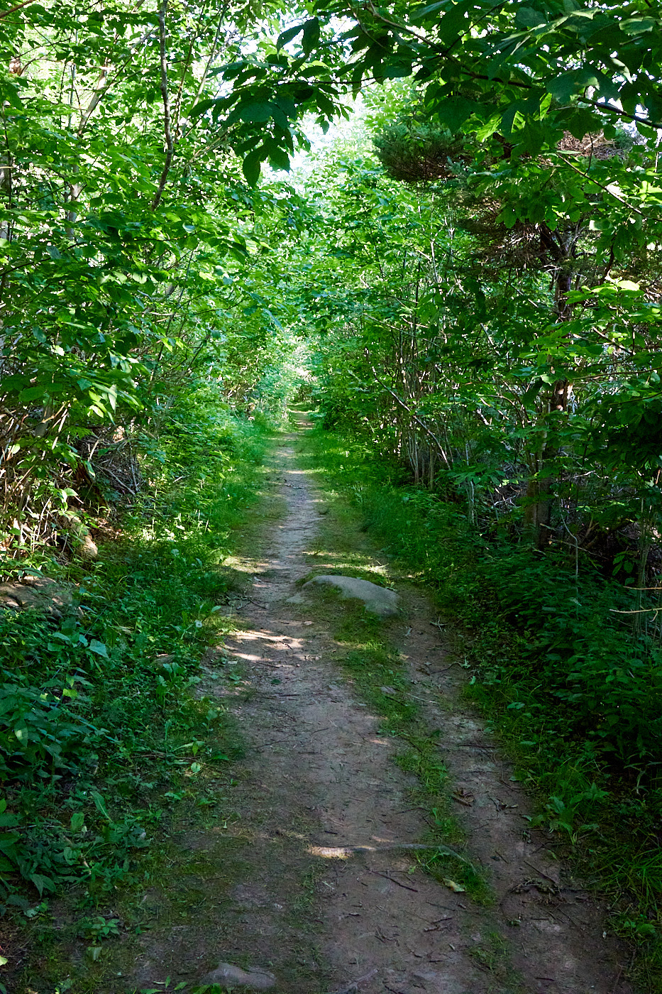
After some time in the afternoon where I felt poorly and Val ran some errands, we opted for another hike on the Buttereau trail. This used to be a road connecting a village to Chetticamp. There were six families that lived in the village, with nine to eleven kids each. The husbands worked on the fishing boats in Chetticamp and would live in the sailor shacks all week (100 lobsters earned 50 cents).
The trail itself was another easy one, with a smooth surface so we made good time. But the thing we remember about this trail the most was the mosquitos. A fair portion of our lifeblood was used to foster the next generation of mosquitos. Me in my shorts and t-shirt was their favorite. This is definitely the trail to take if you are feeling unloved; you will be a hit with the locals.
Driving Distance: Short, around the park
Hiking Distance: 14.3 km (8.9 miles)