Cabot Trail
2026-07-31
Cape Breton Island, Nova Scotia
It was a drizzly morning, but the wind finally slacked off around 7:00 AM so like the locals we considered that better weather. We left our darling motel after three nights, and headed to the other side of the park following the "Cabot Trail." It's just a label for a few roads that take the scenic route around Cape Breton Island but it is a pleasant drive and would be even better on a dry day.
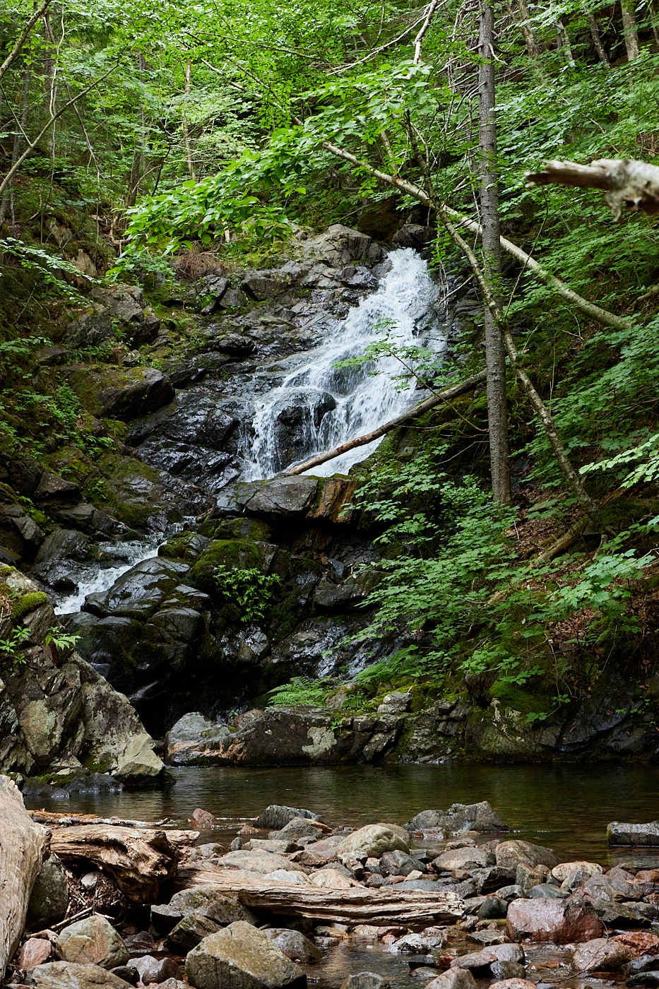
We stopped early at the Macintosh Brook trail and hiked 2.1 km (1.3 miles). The trail moseyed along the eponymous brook to reach a water fall. While not huge, it was pretty and we took the time to shoot a few pictures. On the return trip, the rain picked up.
We drove a few kilometers in the rain and hiked Lone Shieling Loop, which was 0.7 km (0.4 miles). This short loop is all they will let you do of the oldest growth forest in Nova Scotia, which has Sugar Maples that are up to 400 years old. The whole park is protected, but this area is extra protected. Due to the drizzle, I don't have any pictures; however, they would be underwhelming. The trees were maybe 0.8 or so meters in diameter. They weren't huge like the way a hundred year old oak gets.
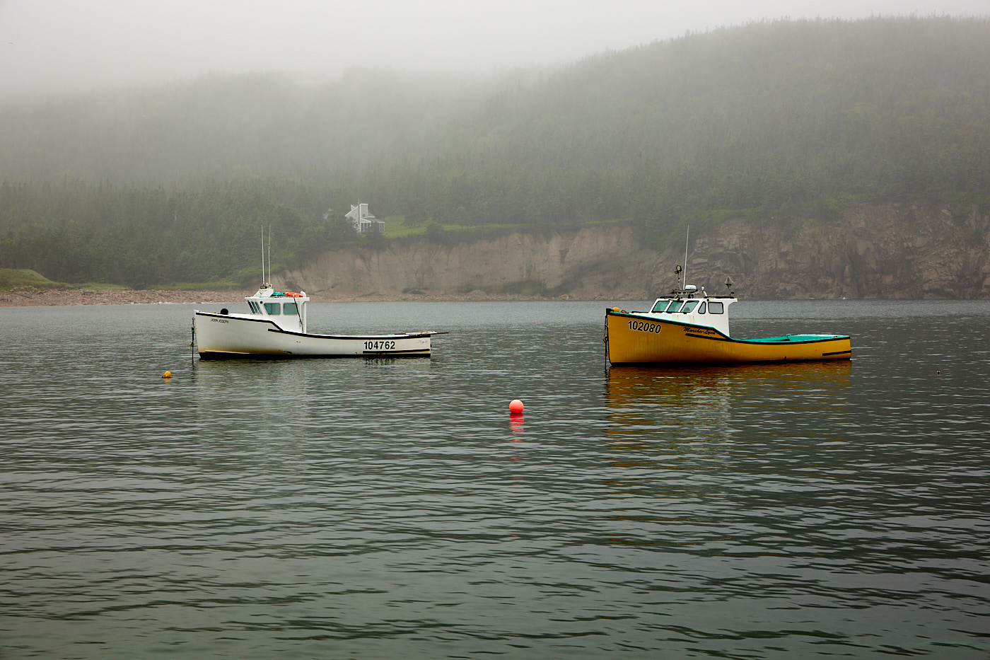
Next stop was White Point. The plan was to hike the trail up to the point for a view, but with the rain and the clouds obscuring any view we opted not to walk. We did go out to the trailhead hoping things would improve en route, but that was not the case. So we took a couple harbor pictures and headed back for the Cabot Trail.
With the weather remaining drizzly, we decided to skip the viewpoints (imagine standing inside a cloud) and visit some of the local craftspeople. They have an Artisan Trail Map with a bunch of different local artists and artisans which gave us plenty to choose from. My assumption is that they have a lot of time in the winter to hone their skills and make stuff to sell to tourists.
We visited a Hinterglas studio where a lady painted on glass in a style dating back to the third century (it was surprisingly well done), pottery, dresses and hats, leather, glass (you could watch the guy work; tips encouraged) and general knick-knacks. We skipped some of the others, like pewter and chocolate (don't worry, we had a brownie from a bakery just before the shop). Needless to say Val led this part of the trip. I'm a terrible shopper. Mostly I would encourage the shopkeeper to talk more. We learned how to pronounce our destination and where to visit in different towns as well as interesting trivia about the local area and the home towns of the merchants.
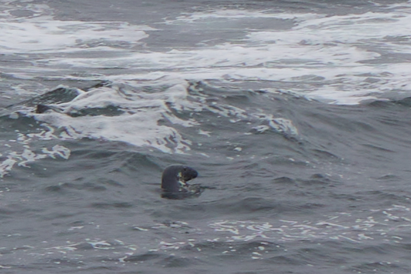
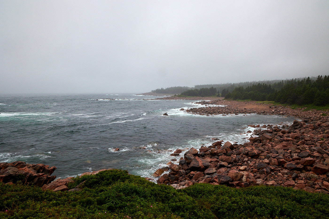
During our travels we stopped at some of the ocean overlooks in the National Park on the East Coast. The weather still wasn't cooperating but we did get to see more of the park.
We ended up in Baddeck (pronounced beh-deck) for the night. It's much more of a resort town than fishing village like Cheticamp. I'm not sure why that happened.
Driving Distance: 240 km (144 miles)
Hiking Distance: 2.5 km (1.5 miles)